.png)
A weak cold front is on its way but don't expect storms to improve drought conditions in Florida, especially in counties needing rain the most.
Instead, dry conditions are expected to expand across the peninsula, leading to an increased risk for wildfires, according to the Florida Department of Emergency Management.
➤ Weather alerts via text: Sign up to get updates about current storms and weather events by location
Thursday, March 20, is the spring equinox, or the first day of astronomical spring.
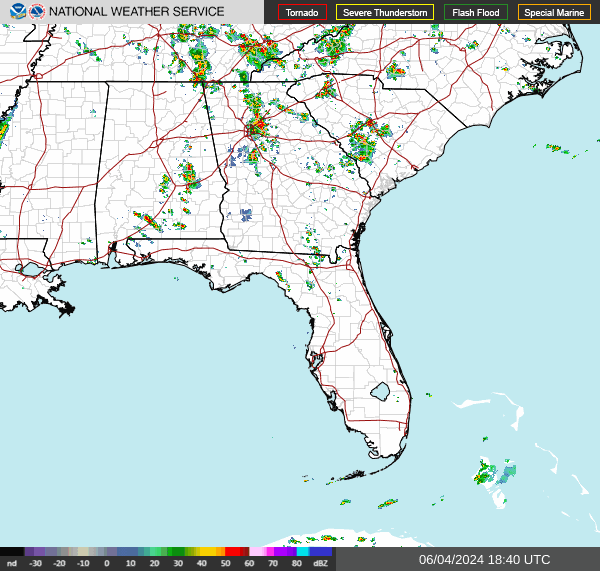
Weather alerts issued in Florida
Current drought conditions in Florida
In North-Central Florida, moderate drought conditions have expanded toward the Volusia County coastline and severe drought conditions have expanded northeastward into Lake County, according to the Florida Department of Emergency Management.
Moderate drought conditions extend across Pinellas County and through northern Monroe County.
Severe drought conditions also extended through central portions of Broward and into Miami-Dade County.
"The Florida Peninsula continues to keep missing out on the heaviest rainfall that occurs across the Panhandle and North Florida."
Ten counties are considered under drought or increased fire danger:
Broward
Charlotte
Collier
Glades
Hendry
Lee
Martin
Miami-Dade
Monroe
Palm Beach
According to the Florida Forest Service, there are currently 31 active wildfires across the state burning approximately 1990 acres.
Weather radar: Track storms as cold front approaches, moves through Florida
What to expect from March Florida cold front

Rain associated with an approaching cold is forecast to reach the Panhandle and North Florida March 19-20, 2025, keeping conditions dry for most of the Florida peninsula.
Calm wind gusts below 10-15 mph will return across the Florida peninsula Wednesday as a system of high pressure moves east toward the Southeast U.S. coastline and the far western Atlantic waters late Wednesday evening and overnight ahead of an approaching cold front, according to the Florida Department of Emergency Management.
As the high-pressure system moves east, it's expected to keep conditions mostly dry on Thursday.
"Locally sensitive wildfire conditions will persist across portions of South Florida on Thursday where relative humidity values will fall near critical thresholds and elevated wind gusts upwards of 15-20 mph can be expected during the afternoon.
"This next cold front will remain relatively weak, bringing scattered showers, with possible embedded rumbles of thunder (30-65% chance of rain). However, a few embedded rumbles of thunder or a very isolated thunderstorm cannot be ruled out across the Panhandle."
As the cold front pushes across the I-10 corridor Thursday, "it will continue to weaken and keep shower activity isolated during the afternoon and evening hours (20-40% chance of rain).
"A few stray showers may be able to move into Central and South Florida during the late evening hoursas the front pushes through, but overall activity will remain very limited," according to the Florida Department of Emergency Management.
After the cold front passes, mostly sunny conditions are forecast, although wind gusts of 15-20 mph are possible throughout the peninsula Friday.
How cold will it get in Florida as cold front moves through?

Expected low temperatures across Florida March 22, 2025, after the arrival of a cold front.
High temperatures will reach the 60s and 70s across the state on Friday, then increase to the 70s and lower 80s on Saturday.
Low temperatures will fall into the 40s across North Florida, upper 40s to middle 50s across Central Florida and 50s and lower 60s across South Florida Friday night.
Low temperatures will fall into the upper 40s to middle 50s across North Florida, middle 50s to lower 60s across Central Florida and upper 50s to middle 60s across South Florida Saturday night.
Stay informed. Get weather alerts via text
What's next?
We will continue to update our weather coverage as conditions warrant. Download your local site's app to ensure you're always connected to the news. And look for our special subscription offers here.
This article originally appeared on Florida Times-Union: When is spring? Florida expecting cold front as equinox arrives


 English (US) ·