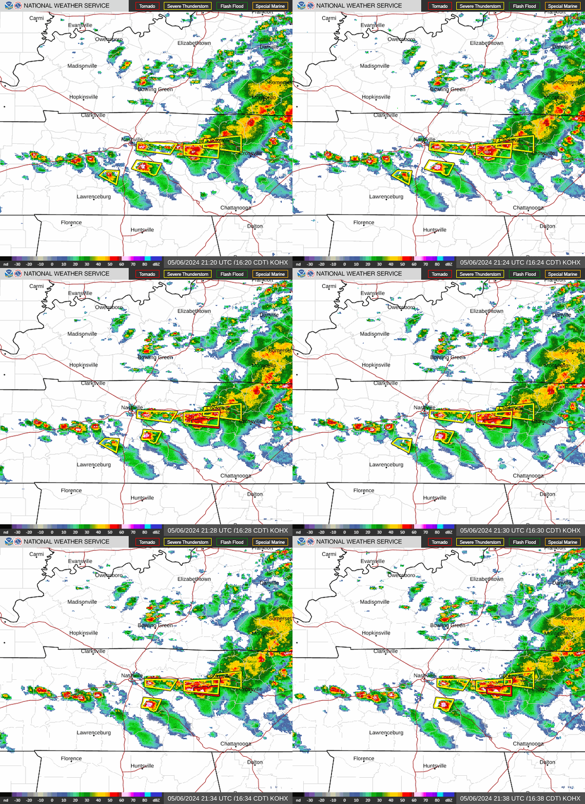
Severe weather continues to plague Middle Tennessee.
In the early hours of Thursday morning, damaging gusty winds and torrential rains poured down on the region. The storm, which included likely tornadoes, caused major infrastructure damage and took the lives of three people.
The storm also resulted in flooding, which is the main threat over the next few days. There are flash flood warnings in multiple counties across the region, including:
Cheatham: Udntil 9:15 a.m.
Clay: Until 10:45 a.m.
Davidson: Until noon
Dickson: Until noon
Macon: Until 10:45 a.m.
Robertson: Until 9:15 a.m.
Rutherford: Until 10:30 a.m.
Sumner: Until noon
Trousdale: Until 10:45 a.m.
Williamson: Until noon
Wilson: Until 10:30 a.m.
As the day continues, there is a "slight" threat of severe weather, according to the National Weather Service. Middle Tennessee could see large hail, damaging winds, heavy rains and tornados. The chance of thunderstorms is most likely in the evening, according to the National Weather Service.
Here's what you need to know.
How much will it rain in Middle Tennessee?
Middle Tennessee will see several inches of rain through Sunday. Nashville is expected to get between 5-6 inches, while Clarksville could see 8-10 inches of rain. Crossville is only expected to see around 2 inches of rain.
Which rivers are at risk for flooding? What to know about water levels ahead of heavy rain event
On Thursday, the northwest communities will see the heaviest rain, about 2-4 inches. The Nashville metro area will see 1-2 inches of rain today, according to the National Weather Service. This estimated rainfall is included in the amounts below through the weekend.
Clarksville: 8-10 inches
Waverly: 6-8 inches
Nashville: 5-6 inches
Lafayette: 4-5 inches
Jamestown: 2-3 inches
Smithville: 2-3 inches
Columbia: 2-3 inches
Waynesboro: 2-3 inches
Tullahoma: 2-3 inches
Crossville: 1.5-2 inches
When will the rain stop in Middle Tennessee?
The rain should let up on Sunday in Middle Tenessee, according to the National Weather Service. Sunday night is forecast to be partly cloudy across the region, with the exception of Cumberland County. The storm will move East towards Knoxville on Sunday night.
Nashville weather radar
What is the difference between a flash flood watch and a flash flood warning?
A flash flood watch indicates that the conditions are prime for a flash flood to occur in a certain area; a flash flood is possible.
A Flash Flood Warning is issued when flash flooding is imminent or occurring. If you have a flash flood warning, get to higher ground immediately.
This article originally appeared on Nashville Tennessean: Nashville, Middle Tennessee weather: Flash floods, hail and tornados
.png)


 English (US) ·