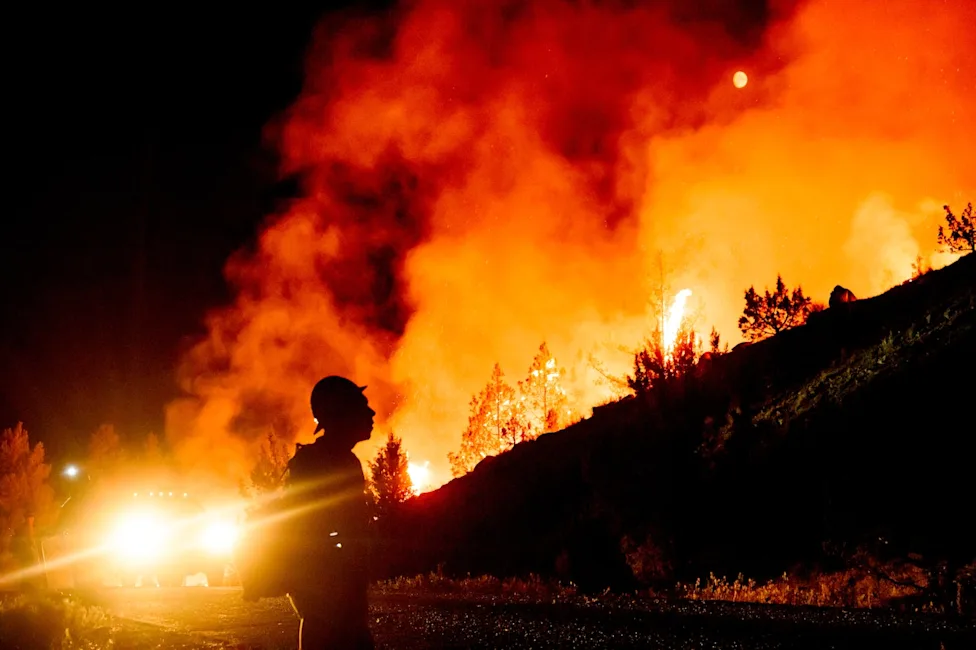
NASA Satellite Imagery Reveals Massive Smoke Plumes as Wildfires Rage Across Oregon
PORTLAND, Ore. — High-resolution satellite imagery released by NASA reveals a thick blanket of smoke draping across large swaths of Oregon, the result of a barrage of lightning-sparked wildfires. Over the past 72 hours, severe thunderstorm systems tracking through central and eastern Oregon have ignited dozens of new blazes. According to forestry officials, the dry lightning strikes hit parched vegetation, instantly triggering rapid-fire starts that have quickly strained local containment resources and severely degraded regional air quality.
The sudden surge in fire activity comes on the heels of a prolonged summer heatwave that left the Pacific Northwest's forests and grasslands exceptionally vulnerable. Fire meteorologists note that "dry lightning"—thunderstorms that produce lightning but little to no measurable rainfall—is particularly dangerous under these dry conditions. As the storms rolled across the Cascade Range and into the high desert regions, NASA’s Earth-observing instruments captured dramatic video and thermal imaging of massive smoke plumes rising from the high-risk zones, showing the haze drifting across state lines and settling into mountain valleys.
Local authorities, including the Oregon Department of Forestry (ODF), have issued urgent air quality alerts for several counties, warning residents to limit outdoor activities as the Air Quality Index (AQI) plunged into "unhealthy" and "hazardous" categories.
> "The sheer volume of concurrent starts has severely challenged our initial attack resources," said Jessica Vance, a regional fire information officer. "Our primary focus remains on protecting lives and critical infrastructure, but the dense smoke is currently limiting our ability to safely deploy air tankers for retardant drops."
As ground crews work around the clock to establish containment lines, weather forecasts offer little immediate relief, with high temperatures and dry winds expected to persist through the week. NASA's continuous orbital monitoring remains a crucial tool for emergency managers, providing real-time data on fire boundaries, heat signatures, and smoke dispersion patterns. Until a significant shift in weather patterns brings moisture to the region, state officials are advising residents to monitor local evacuation levels and prepare for prolonged periods of degraded air quality.