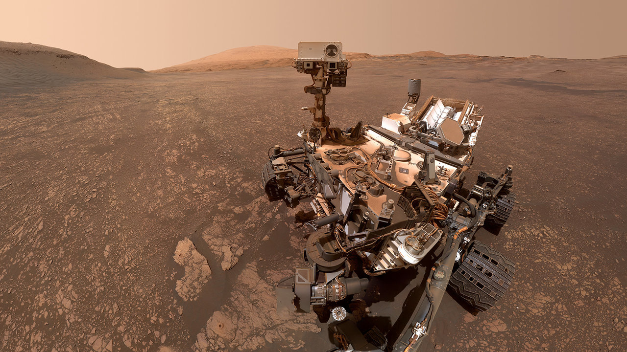
NASA’s Curiosity Rover Investigates Striking 'Land of the Polygons' on Mars
PASADENA, CA — NASA’s Mars Science Laboratory mission has reached a visually stunning and scientifically vital new terrain on the slopes of Mount Sharp. During Sols 4934–4940 (spanning Earth planning dates around late June 2026), the Curiosity rover successfully navigated into a highly anticipated geological unit informally dubbed the "Land of the Polygons." This region, which previously appeared as a uniform, light-toned, and remarkably smooth expanse in orbital imagery, is now revealing its complex, fractured secrets to the rover’s science instruments on the ground.
The transition into this unique terrain required meticulous coordination from the mission's engineering and science teams, who executed two comprehensive planning cycles over the multi-sol span. According to Dr. William Farrand, a Senior Research Scientist at the Space Science Institute and a member of the Curiosity science team, the stark contrast between orbital predictions and ground-level reality highlights the ongoing value of in-situ planetary exploration.
"From our orbital vantage point, this unit appeared light-toned and relatively featureless," Dr. Farrand noted in a mission update. "However, as Curiosity drove onto the surface, we were greeted by an intricate network of polygonal fractures and diverse rock textures. Ground-truthing these orbital observations is critical for understanding the true depositional and environmental history of Gale Crater."
Deciphering the Martian Fractures
Geological polygons on Mars are of intense interest to astrobiologists and planetary geologists alike. On Earth, similar polygonal patterning typically forms through repeated thermal contraction, freeze-thaw cycles, or the desiccation of wet sediments—such as the drying out of an ancient lakebed. As Curiosity continues its steady ascent of Mount Sharp (Aeolis Mons), a 3-mile-high mountain inside Gale Crater, the discovery of these fractures provides crucial clues about the region's ancient hydrological cycle and how liquid water transitioned to dry land billions of years ago.
To analyze the composition and physical properties of the polygonal formations, the science team scheduled a robust suite of targeted observations, utilizing:
- ChemCam (Chemistry and Camera): Laser-induced breakdown spectroscopy to analyze the elemental composition of the fractured rock.
- Mastcam: High-resolution multispectral imaging to map the geometric patterns and color variations across the landscape.
- APXS & MAHLI: Arm-mounted instruments deployed to conduct close-up chemical and microscopic examinations of the surface crust.
A Test of Longevity and Precision
Curiosity's journey into the polygonal terrain underscores the remarkable endurance of the nuclear-powered rover, which has been exploring Mars since August 2012. Now well into its extended mission, the rover continues to navigate increasingly rugged topography as it transitions from clay-bearing units to sulfate-rich layers. The data gathered during Sols 4934–4940 will help scientists determine whether these polygonal structures were formed by surface evaporation or if deeper, subsurface groundwater processes played a role in cementing these unique formations. As Curiosity wraps up its analysis in this sector, the rover is already eyeing its next climb, searching for further clues to Mars’s ancient habitability.