Choked by Smoke: NASA Satellite Data Reveals Transboundary Surge of 'Brown Carbon' Across North America
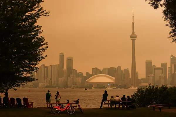
WASHINGTON — Newly released atmospheric data and satellite visualizations from NASA have revealed the staggering scale of wildland fire emissions that blanketed vast corridors of the United States and Canada during a pivotal week in July 2026. The monitoring initiative focused heavily on the dispersion of "brown carbon"—a potent, light-absorbing organic aerosol released during the smoldering of biomass—which significantly degraded air quality for tens of millions of residents across the continent. The visual data, captured over a seven-day period, highlights how rapidly intense wildfire smoke can bypass geographical borders to create a shared ecological and public health crisis.
Unlike black carbon (soot), which is primarily produced by high-temperature fossil fuel combustion, brown carbon is released during the low-temperature smoldering of forests, peat, and grasslands. This distinction is critical for both health officials and climate scientists.
> "Brown carbon plays a dual role of concern," said Dr. Marcus Vance, a senior atmospheric researcher collaborating with NASA's Earth Science Division. "Not only does it degrade breathing conditions at the surface by increasing particulate matter, but it also absorbs solar radiation in the upper atmosphere, which can trap heat and further alter local weather patterns."
Using advanced sensor arrays and atmospheric modeling, NASA's tracking showed these dense plumes rising high into the troposphere, where high-altitude winds rapidly carried them southeastward from active burn sites. The resulting haze led to a sharp drop in visibility and a spike in Air Quality Index (AQI) values across multiple jurisdictions.
Key Impacts of the July 2026 Smoke Event:
- Air Quality Alerts: Major metropolitan areas from the Canadian Prairies to the U.S. Midwest and Northeast were forced to issue code-orange and code-red air quality alerts.
- Health Risks: Public health agencies reported a rise in emergency room visits for asthma and respiratory distress due to elevated levels of fine particulate matter ($PM_{2.5}$).
- Transboundary Movement: The visualization demonstrated that smoke originating from remote western forests could travel thousands of miles within 48 to 72 hours, directly affecting densely populated eastern corridors.
This mid-summer event echoes the severe wildfire seasons of recent years, confirming what atmospheric scientists have long warned: transboundary smoke pollution is no longer an anomaly, but a recurring summer fixture. As wildland fires grow more frequent and intense due to rising global temperatures and prolonged droughts, the ability to track these complex aerosols becomes critical. NASA’s latest tracking efforts underscore the urgent need for cross-border cooperation in forest management and public health warning systems, proving that wildfire mitigation is now a continental challenge requiring unified atmospheric surveillance.